The U.S. Army Corps of Engineers (Corps) Baltimore, Buffalo, Charleston, Chicago, Detroit, Fort Worth, Galveston, Huntington, Jacksonville, Kansas City, Little Rock, Louisville, Memphis, Mobile, Nashville, New England, New Orleans, New York, Norfolk, Philadelphia, Pittsburgh, Savannah, St. Louis, Tulsa, Vicksburg, and Wilmington Districts, and the U.S. Environmental Protection Agency (EPA), Regions 1, 2, 3, 4, 5, 6, and 7 jointly announce the availability of the Regional Streamflow Duration Assessment Methods (Regional SDAMs) for the Northeast and Southeast (dated June 12, 2025). The methods are rapid assessment tools to help distinguish between ephemeral, intermittent, and perennial streamflow at the reach scale for the Northeast and Southeast SDAM Regions.
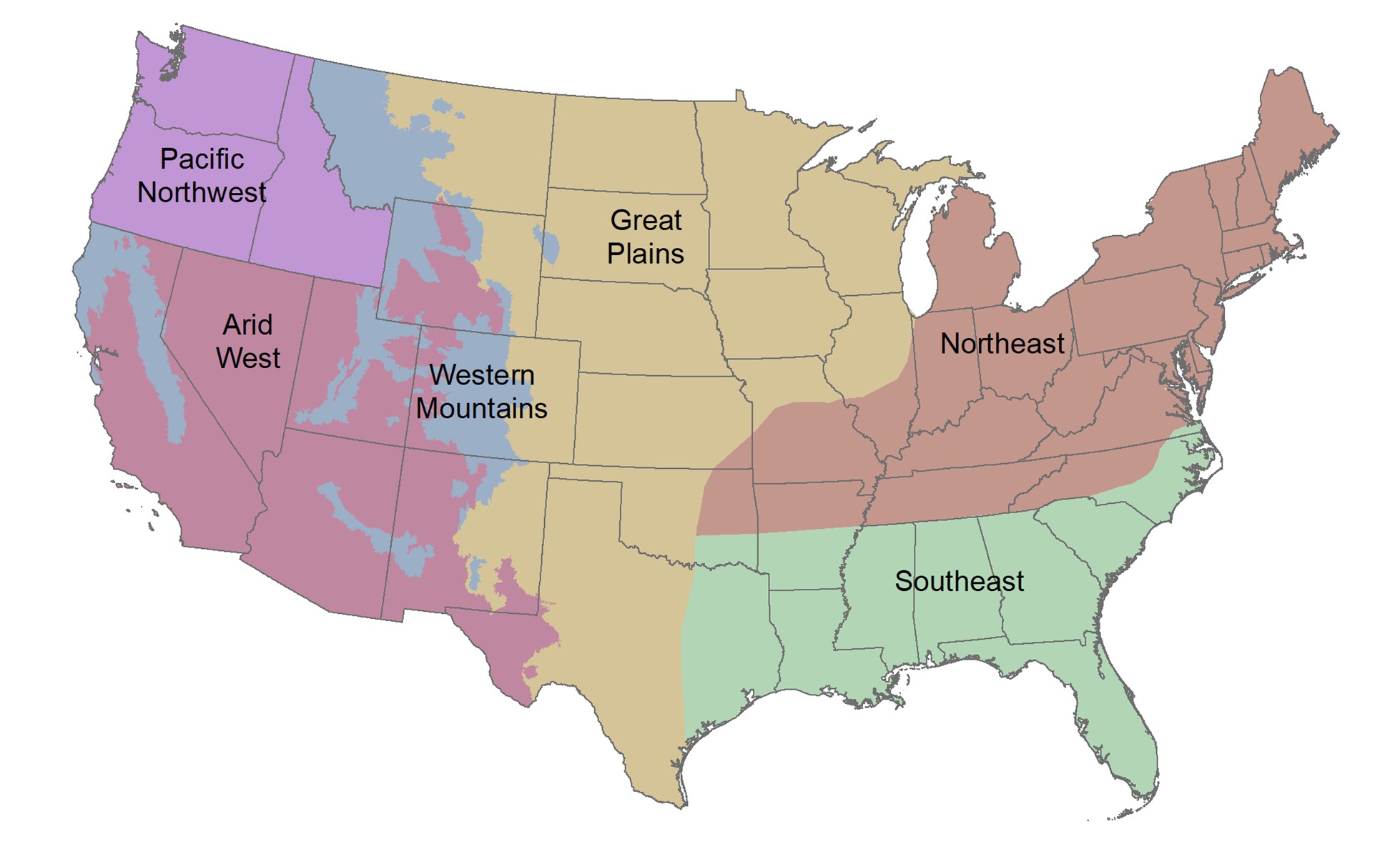
These Regional SDAMs were developed for use in all or part of the states of Maine, New Hampshire, Vermont, Massachusetts, Rhode Island, Connecticut, New Jersey, Delaware, Maryland, New York, Pennsylvania, West Virginia, Virginia, North Carolina, South Carolina, Georgia, Florida, Louisiana, Alabama, Tennessee, Kentucky, Ohio, Indiana, Arkansas, Kansas, Illinois, Michigan, Missouri, Mississippi, Oklahoma, Texas, and the District of Columbia by the Corps and EPA (Figure 1). These methods result from a literature review and multi-year field study conducted at 358 stream reaches across the range of hydrologic landscapes of the Northeast and Southeast. Developed through statistical analyses of the field data, these SDAMs provide a data-driven approach using reliable indicators to determine streamflow duration class at the reach scale. The agencies are making these final Regional SDAMs available for public use. This follows completion of a more than one-year preliminary implementation and comment period on beta methods to inform development of the final Regional SDAMs.
The Regional SDAMs for the Northeast and Southeast can be applied whenever there is uncertainty regarding streamflow duration class and a rapid evaluation method is desired. The methods provide a scientifically supported, rapid assessment framework to support best professional judgment in a consistent, robust, repeatable, and defensible way. The classification outcome resulting from application of the methods may inform a range of activities where information on streamflow duration class can improve ecological assessment, management, and decision-making. The Regional SDAMs were developed specifically from data collected in the Northeast and Southeast.
Practitioners such as stream ecologists, aquatic ecologists, hydrologists, and wetland scientists are encouraged to utilize the Regional SDAMs. All materials and tools necessary to understand and support application of the Regional SDAMs can be found at: https://www.epa.gov/streamflow-duration-assessment.
Figure 1. Boundaries of the Regional SDAMs in the United States.